
September 19, 2019, Day 15
Louse Canyon near Andersons Corral (~OC 31) to McDermitt, ~18.1 miles, ~199.6 miles total
Gabriel’s Day 15 pictures are here.
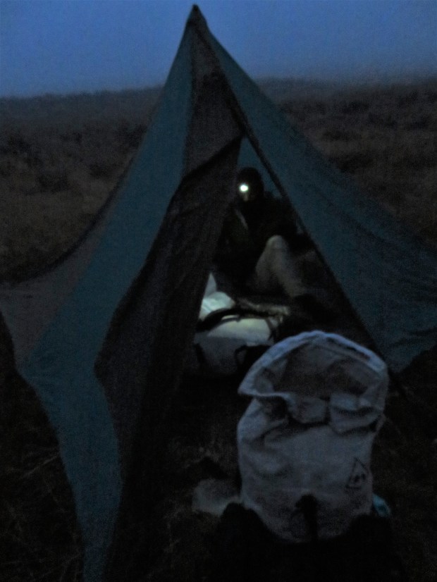
Saturated. Outside our tent, the air is dripping with moisture. Out of the tent for just a few minutes, I pull up my sleep tights and my legs are quickly damp. My headlamp illuminates grasses bejeweled with rain drops. It’s WET.
Stumbling around in the dark in slippery brush, I ask myself the question, “Why are my rain pants in McDermitt?”
I can answer that self, “When you packed back at home on a warm summer weekend you wanted to shave weight from the longest haul of the trip. 7.9 measly ounces (albeit a half pound)! You were more worried about 90+ degree days and sun exposure. You were planning based on Allgood’s trip last year. It’s not 2018. It’s now! So what if it’s wet. Get out there and hike on to town. That’s the only way to get you rain pants!”
Pep talk given. I went back to the tent to pack up.
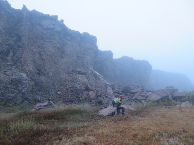
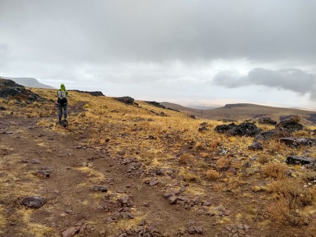
The early morning hours of today we walked up and out of Louse Canyon in fog and rain across a sagebrush rise and fields of volcanic cobble. We futzed with really annoying rusty barbed wire fences. We watched pronghorn in the mist. We ducked behind sagebrush to extract calories from our packs. Otherwise, we stayed on the move.
I reminded myself that I thought this landscape was really pretty. But I was also a less than happy, soggy marmot. One without an umbrella, (I’d lost it to the willows of Louse Canyon two days prior) and without rain pants. Legs saturated. My core was just staying warm enough with five layers: sleep shirt, hiking shirt, wind shirt, puffy jacket, and rain jacket.
I was feeling pretty low as we hiked up a rise above 6,500 feet in fog, rain and… a cool breeze. At the top of the rise, the rain ceased. The fog was gone. Before us were views of the Northern Basin and Range. Standing on the Alcorta Rim we were looking down at the greasewood flats of the Quinn River Valley with snow covered mountains on either side. The sun breaking through dark rain clouds with rays of light illuminating the valley floor. A beautiful and dramatic scene, indicative of the country we are entering.
My spirits lifted! I consumed a bunch more calories (which helped too). And we got moving descending down into the basin.
A few hours later we made it to McDermitt, Nevada. Soggy. Hungry. And tired. We picked up our resupply packages at the post office (in McDermitt, Oregon). Got a motel room. Ate lunch at the infamous Say When(!) casino.
It felt luxurious to warm up with a mug of hot chocolate and a plate of hot food. The diner played an assortment of 70s, 80s, and 90s soft rock that was a balm to my soul. Usually Gabriel is the one who knows what band, musician, or song is playing. But now, here, I was our genre expert. A fitting day for him to be introduced to America’s A Horse With No Name:
I’ve been through the desert on a horse with no name
It felt good to be out of the rain.
Indeed.
It rained pretty hard for much of the afternoon and in the evening we could see thunderheads and storm clouds exploding up in the mountains along Alcorta Rim. Thankfully, we’re here in glorious McDermitt for the night.
It rains 8 out of 15 days on the ODT.
Up at ‘hem at o’dark thirty.
It’s a gray day in the desert.
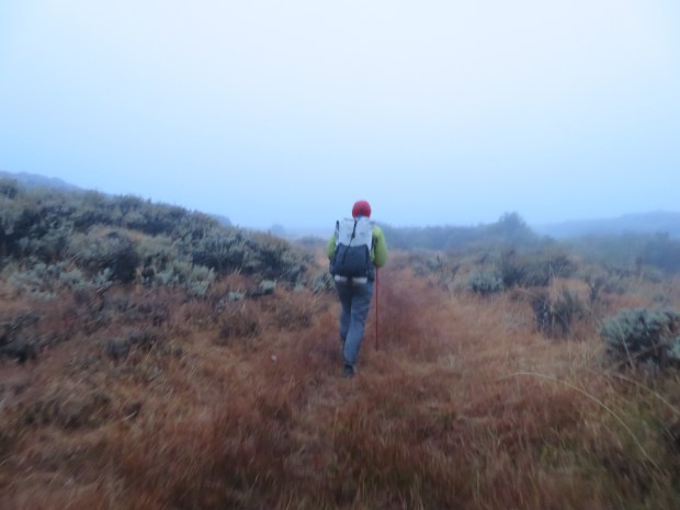
Heading up boggy, wet Louse Canyon, the definition of a wet meadow for sure. Already my pants are wet through and we still have 16 miles to go.
Eroded wash of Louse Canyon.

Blurry, botanizing moment. This little daisy or groundsel – oh how I wish I knew your name. Still, your cheery gold petals are a delight on this foggy, wet morning.
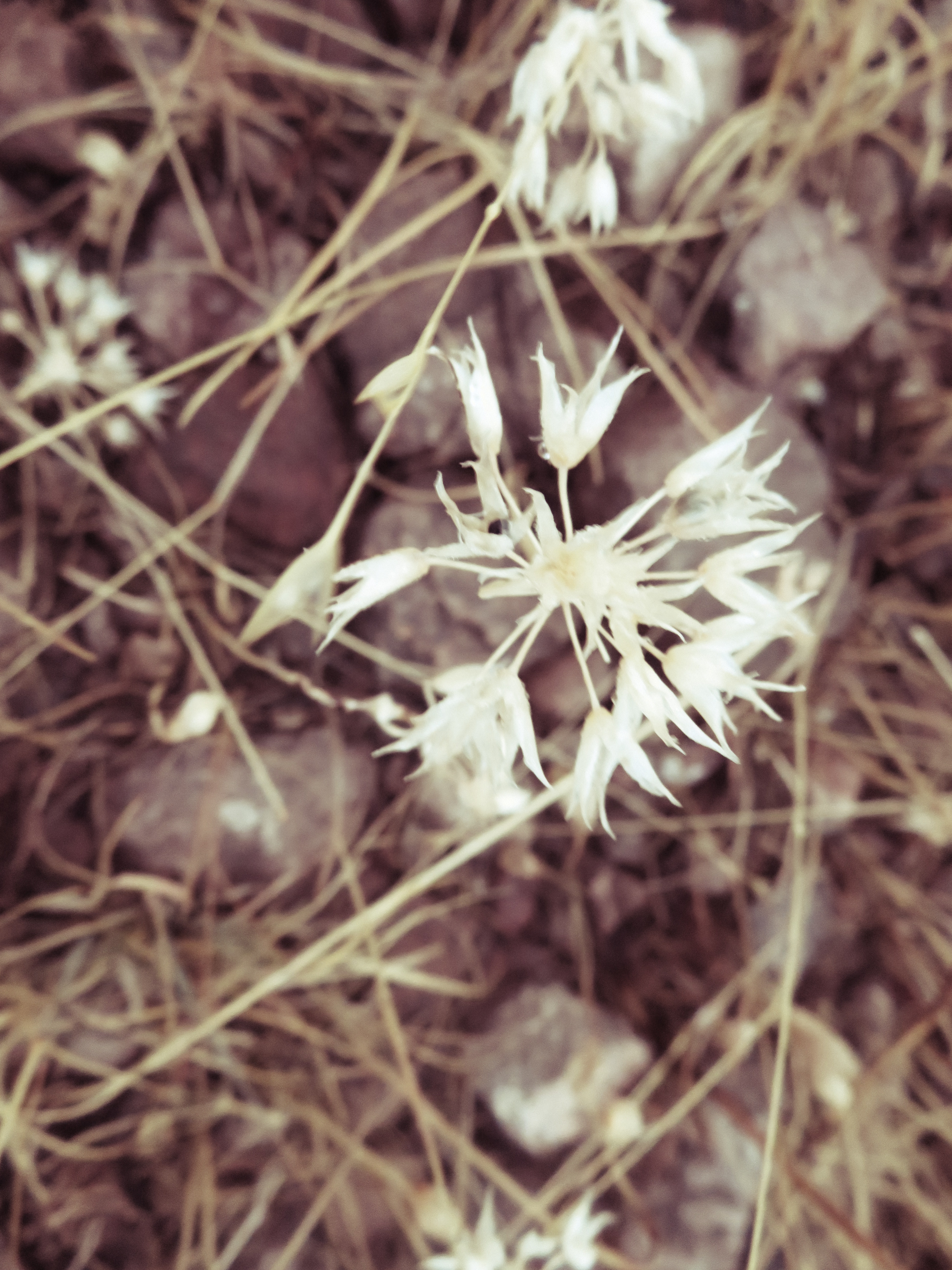
Wild onion flowers – dried on the stem. There are some species of wild onion found only around the Owyhee. And a reminder that places like this part of Louse Canyon are rich in cultural history. Not that long ago – and hopefully still today – Paiute families traveled to wet meadows like Upper Louse Canyon to harvest bulbs of wild onion like this one; along with camas, other lilies, and arrowroot.
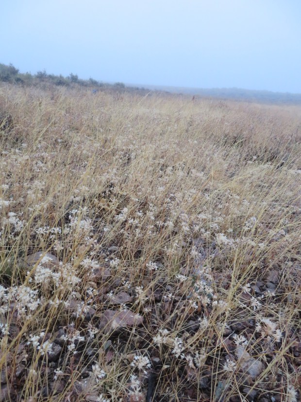
A rocky volcanic field rich in wild onions and grasses. Hopefully next year’s growth is benefiting from this rain.
Who knew it gets foggy out here in the desert?
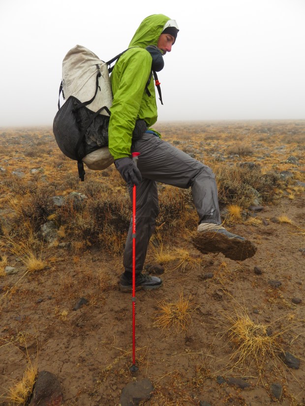
The mud is sticky. It reminded us a bit of walking across the Colorado Plateau in northern New Mexico and the pancakes of mud that can coat shoes. Gabriel was a little more prepared than me, he had his rain pants! But opted to not use his umbrella in solidarity.
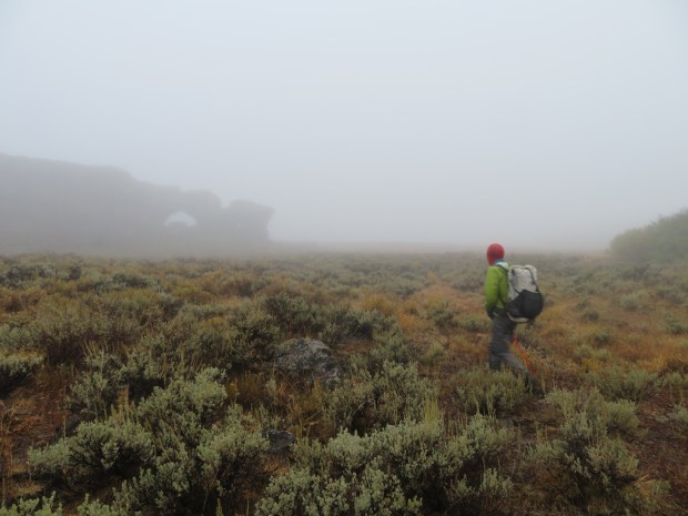
It was pretty stunning to come up over the rise from the foggy headwaters of the West Little Owyhee and transition to the Alcorta Rim area. Now we are on the edge of – and entering the Basin and Range ecoregion – a land of fault block mountain ranges rising above desert floors.

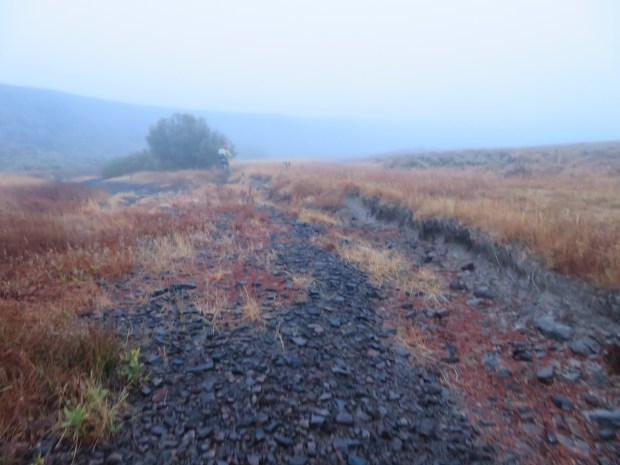
Descending Nouque Ranch Road into the basin. You can’t tell in this photo, but cattle had recently been moved down from the uplands and the road was covered in hoof tracks and splats of wet cow crap. The road slippy with poop and plenty of roller rocks. Fortunately, neither one of us biffed it in the cow crap. Photo by Gabriel Deal

Here on the desert floor – the basin – in the upper Quinn River Valley. The Santa Rosa Mountains to east (left) and the Oregon Canyon Mountains to the west (right). Somewhere out there is McDermitt. Photo by Gabriel Deal
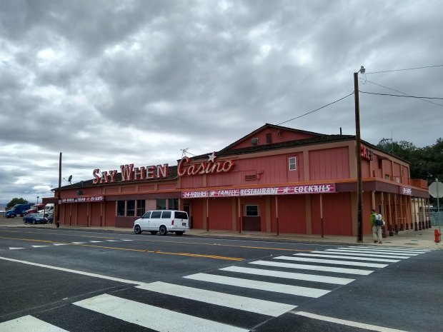
At last, we made it to McDermitt! Say When here we come. For hot cocoa, hot soup, and hot sandwiches. All things hot, please!

Wow lots of wet everywhere
Yes it was. Precipitation in Malheur County was 400-800% of normal!