
September 20, 2019, Day 16
McDermitt to Upper Mitchell Spring, ~14.1 miles, ~213.7 miles total
Gabriel’s Day 16 pictures are here.
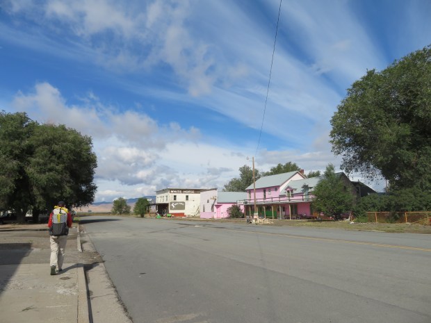
We took care of a flurry of errands this morning: Finish drying clothes (bathtub laundry!). Mail home things we no longer need. Find some extra veggies and warm things at the Quinn River Market. Phone calls with family back home. Breakfast at the Say When. My how time goes by so much quicker in town!
All morning in between errands we looked to the west up at the snow dusted ridges of the Oregon Canyon Mountains. Our day’s destination. They are beautiful in the first rays of sunlight with a low scarf of fog rising from the rain-dampened greasewood, playas, and alfalfa fields across the valley.
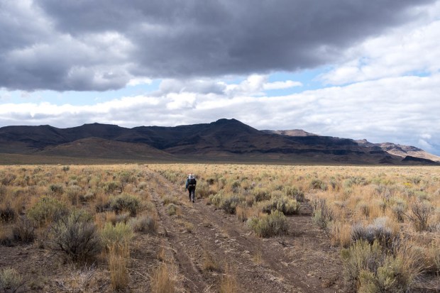
By late morning, we got hoofing it out on Cordeo Road. Dry, mellow road walking, a good warm up for the next five days of mountain roaming to reach Fields (milkshakes here we come!). We watch birds congregate on telephone wires, admire rosehips, and breathe deep of the alkaline-scented greasewood of the basin floor. We’re crossing a basin and entering the next range.
Over the next few days, the ODT will take us up into the Oregon Canyon Mountains, Trout Creek Mountains, and the Pueblo Mountains. High grassy hills more than 8,000 feet tall studded with mountain mahogany and aspen groves. Mountains a mix of processes that formed the Owyhee Uplands and the Steens Basalts. Headwaters for streams that support rare fish and uplands known for mule deear, pronghorn, and sage grouse. I’ve been looking forward to exploring these ranges for years and the ODT’s route seems like a fine introduction.
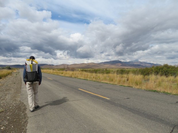
But with every mile walked west the skies turned more overcast. Then thunder rumbled. JUST after we turned off the paved road to head into the mountains. Hmm… today was supposed to be mostly sunny. This gives me pause, as I just want this next part of the trip to be beautiful and relaxing. Not one of weather apprehension. Knowing the temps will likely be chilly the higher we go and the dark clouds are discouraging we decide to stop early and camp low today.
We reached Upper Mitchell Spring area around 5:00 pm. and set up camp in sagebrush patch. Another atypically early stop. But it’s not raining, so we can leave the tent doors open. Tonight we listen to coyotes sing as we eat our dinner, looking out at sagebrush hills and distant Hwy 95.
Tomorrow is supposed to be sunny!
Headed out Cordeo Road toward the Oregon Canyon Mountains.
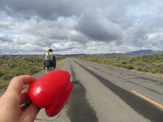
Yay for FRESH produce from the Quinn River Market. It was awesome to eat carrots, cauliflower, bell peppers and drink probiotic water while hanging out in town.
Some five miles of road walking looking at snowy mountain tops amid blue skies. As we got closer to the turn off to the Oregon Canyon Mountains the clouds rolled in.
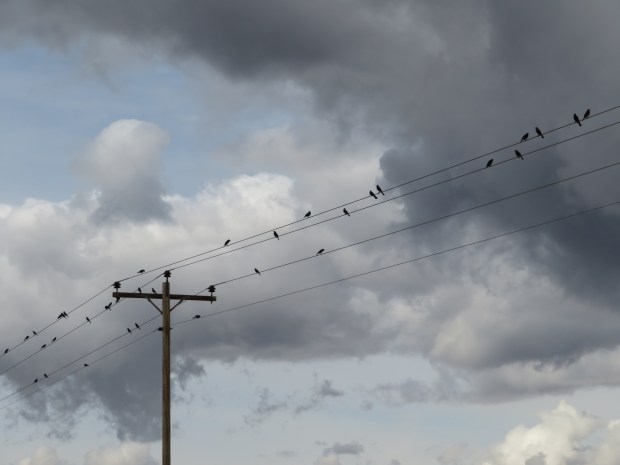
Birds on wires.
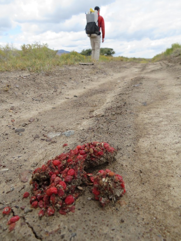
Colorful scat from a diet rich in rose hips.
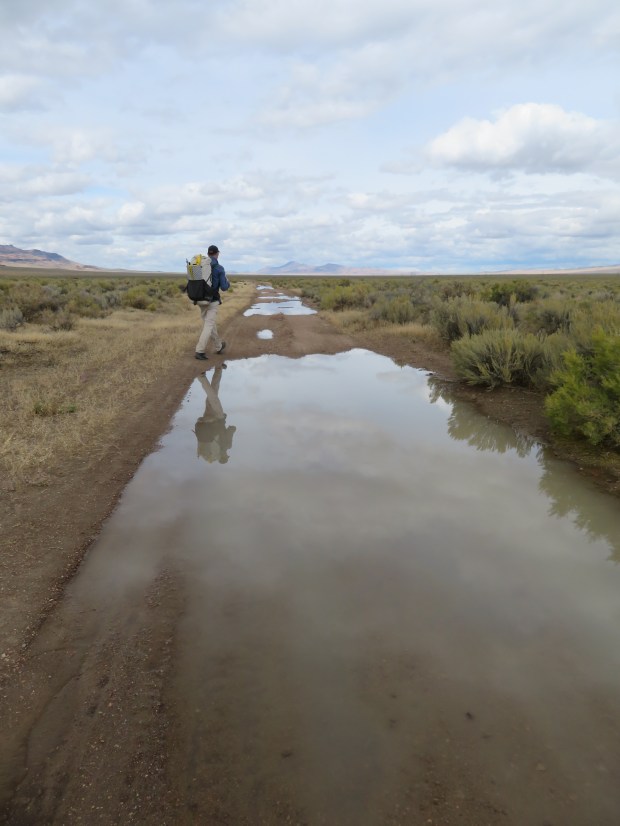
Reflecto puddles next to slippy clay.
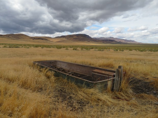
Roadside attractions.
Oregon Canyon Mountain. Photo by Gabriel Deal

Our first no trespassing sign of the ODT. We walked the perimeter of the property.

The old homestead of Mitchell Ranch
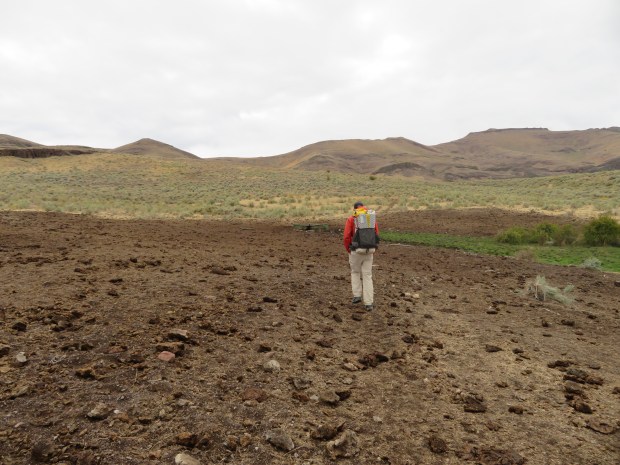
Nearing Upper Mitchell Spring and we can see the cows have issued their stamp of approval for the area.
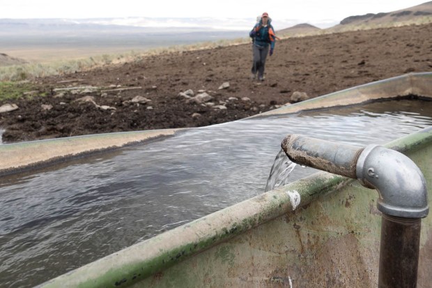
But there’s still clean piped water at Upper Mitchell Spring. Photo by Gabriel Deal
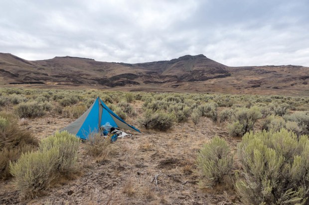
Camp for the night. We camped way early, deciding to stay low in elevation to stay warm and avoid potential storm exposure higher up in the mountains. The coyotes howled songs at dusk. It was a peaceful place to stay a night. Photo by Gabriel Deal
