
A fresh, crisp, clear morning after last night’s hard rain. All the new water has us intrigued to find and understand the landscape’s potential for potholes. Such depressions in the slickrock, be they a few centimeters or a few feet deep are beneficial. They also minimize how much water we must pick up when we detour to the Colorado River for our hydration needs.
Water is the primary limiting factor of our walk the next few days. We got a tip from our friend, Daybreaker a few days ahead of us (via DNR, than you!), that he didn’t find water in Indian Creek. Which could make for a 48 hour water carry in the days ahead. It’s not today’s problem, but it’s in the back of our minds, so we study the potholes.
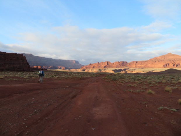
Today, we are on the guidebook Hayduke route and it is almost all road walking. But Utah’s road network is more elaborate and at times very rugged; very different than what we think of as roads back home.
And if one must walk a road, may they have views offered like those along the Lockhart Basin road system. These 4WD roads meander along the plateau below Hatch Point and above the Colorado River for 40-some miles. And the road is our route for the better portion of the day. So we make the most of it.
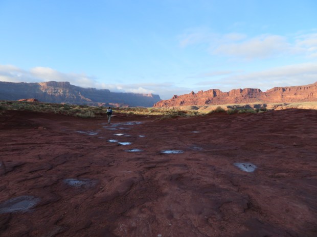
We admire the morning light on Pyramid Butte, familiarize ourselves with the Wingate sandstone, Chinle formation, and the Moenkopi formation that consist of rock layers around us. The Wingate is sheer, tall at close to a 1,000 feet and is shades of red, orange, and black with desert varnish. The Chinle is loose, crumbly, varying in thickness, it gives the slopes a ruble base with a blue-green and purple tinge. (It makes us think of our friend Zmm who we hiked with on the PCT. We wish she was with us to help identify all the colors we see.) The Moenkopi is a deep chocolate brown with macabre figures and candleholders. We imagine the Moenkopi to be all sorts of different creatures and cloaked wizards.
We walk the road, look at the rock, the views, the clouds, and keep walking. The only thing that changes our rhythm this day is collecting water.
First from the tamarisk-thick banks of the Colorado. Later from potholes in the sandstone. Each source requiring different skills. For the Colorado water, we follow the hoof prints and dung of cattle and their well trodden path to the river. (We of course filter our water, then chemically treat it. A Sawyer Squeeze-Aquamiria cocktail.)
The pothole water requires catching the reflective glimmer of water on slickrock. Then carefully skimming the surface of the water so as not to disturb the algae at the bottom of the depression. It takes time to gradually fill our two liter Platypus water containers. But it is the thing to do. Because of some sediment and nearby cow pies, we filter and chemically treat this water too.
Nearing the end of the day, as much as I was enjoying the views, my feet wanted something different. Off trail, uneven, irregular footing to vary the muscles used. Just as this desire really kicked in, we neared the arm of Lockhart Canyon that our route descends. Good bye roads, time to drop into a wash.
Farewell for now Moenkopi rock, time to down and learn some other layers. Lockhart Canyon includes White Rim, the deep red brown of the Organ formation, and edge into the Cedar Mesa sandstone. The slickrock layer that has been just below our feet all day and source formation of the potholes.
Off trail travel down the little tributary canyon of Lockhart stimulates our senses. The walls rising a little higher with every twist. Soon after we bypass a pour off, we find a red sandy spot above the main channel with a nice slickrock slab for a dining room. Home for the night. No rain in the forecast, we set up cowboy camp and admire the moon.
Day 4: 17.2 miles, 62.7 miles total. A wash just west of Hurrah Pass, southeast of Base Camp Adventure Lodge to tributary canyon of Lockhart Canyon near 4352T.
GPS: used once to make sure we were at a pouroff to go around; people sighted: four ATVers; roads: it was all roads! Except the last hour or so.
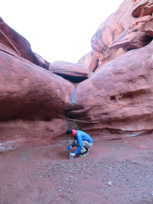
Gabriel collects water below the little pouroff close to camp. Two fresh liters of water, which will be ready to drink before breakfast.
About to step into the warmth of morning sunshine. Pyramid Butte is aglow.
Fresh potholes.
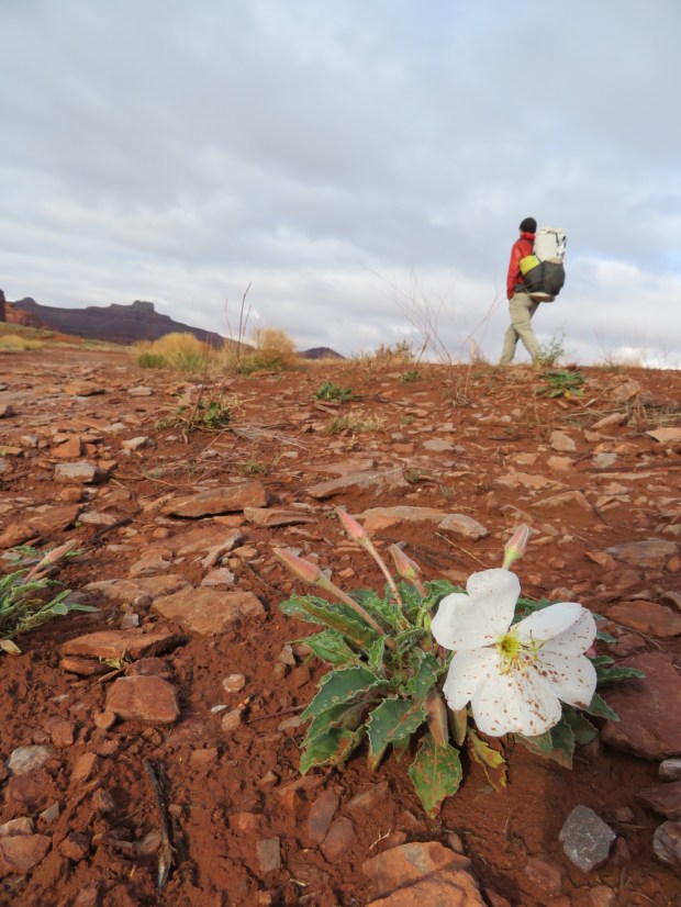
Evening primrose.

I wonder who made this track.

We didn’t take the chicken route.
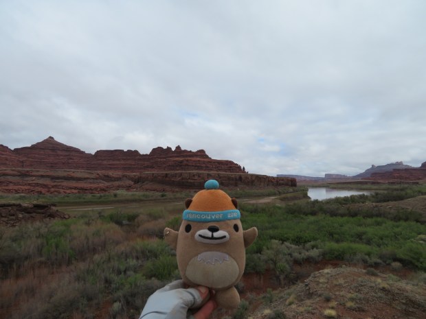
Mukmuk and the Colorado River during breakfast.

Heading down to the Colorado for water.
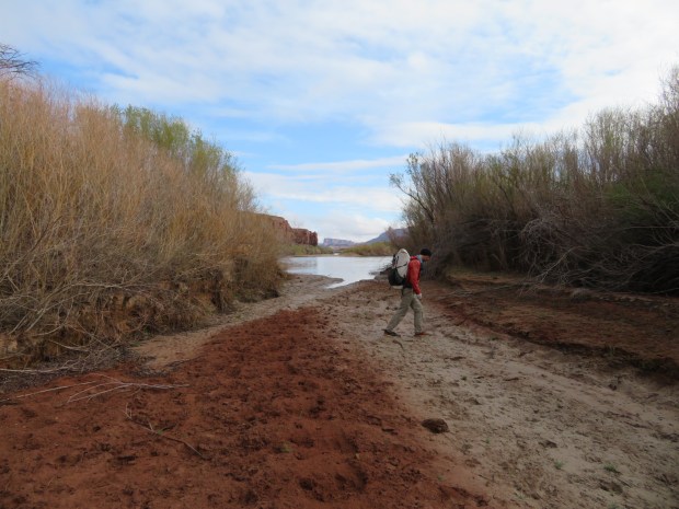
On the muddy, murky, cattle path to Colorado River water.
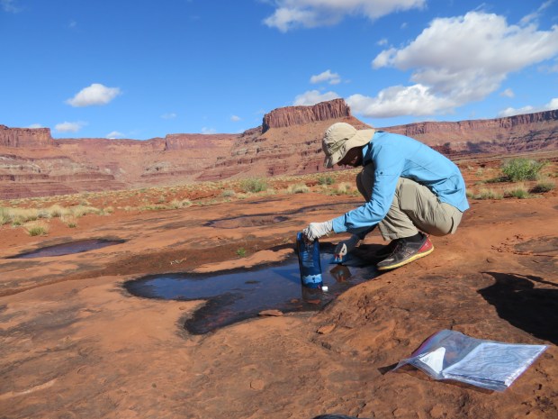
Gabriel gathering pothole water.
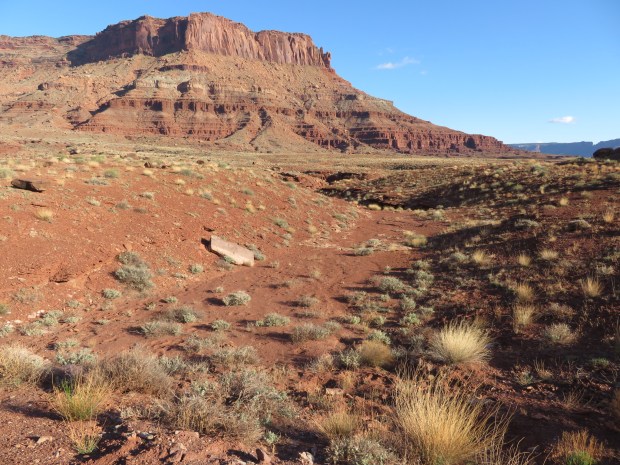
Below this point, we will descend into Lockhart Canyon.
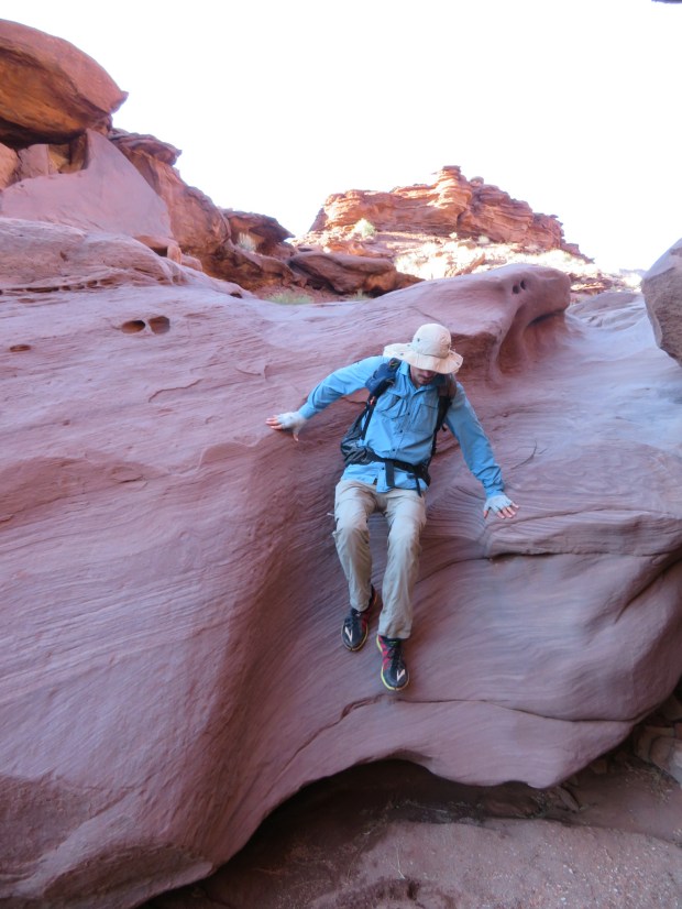
Stepping down the slickrock.
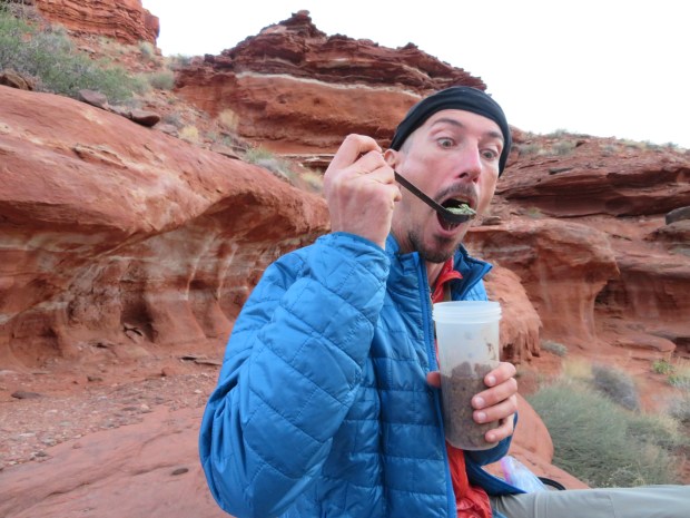
Enjoying some of the dehydrated veggies that Jon and Lynne gave us. Thanks friends!
