
September 9, 2019, Day 5
Owyhee River (OC 129) to Rome, OR, ~22.2 miles, ~91.2 miles total
Gabriel’s Day 5 pictures are here.
Sharing a few pictures and videos that I took with my camera and didn’t have easy access to while we were on trail.

Hasty mid set up during last night’s rain. Photo by Gabriel Deal
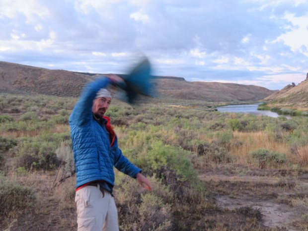
Gabriel has perfected a spinning technique to dry out the mid after rainy nights.
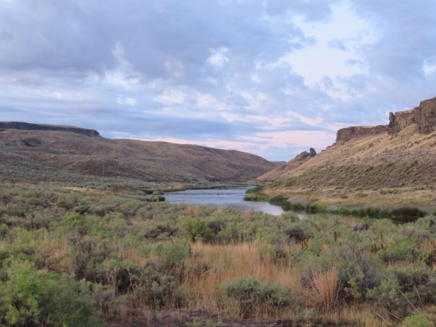
Morning along the Owyhee River. Canyon wrens trill and sparrows sing.
First rays of sun warm up the canyon as we hike along the bench toward the canyon rim.
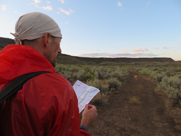
Map studying. It would be easy to turn off the navigation part of the brain and just walk along the old wagon road track admiring the views and sights around us. However, we’re supposed to leave this old road for another that actually goes up to the rim at an easier break in the cliffs. So we need to pay attention!
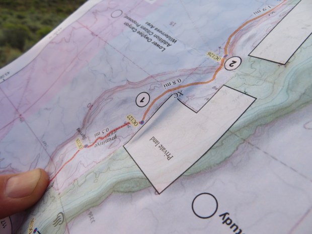
Interpreting the directions of where we should be going. We look at the maps upside down because we are traveling east to west along the ODT and the maps are geared for moving west to east. It can be a little confusing at times.

Somewhere up there is the old military wagon road that leads out of the canyon. To get there involves cross country walking and negotiated movements through sagebrush, avoiding biocrust, avoiding each others tracks, avoiding spider webs, and staying afoot on rolly lava rocks. Not hard to do, but not easy striding like on a road, trail, or consolidated snow. It’s different than moving through forests and mountains of the Cascades.
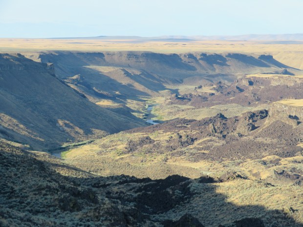
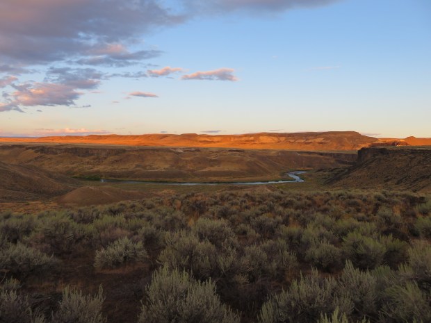
Now on the rim, looking back at the Owyhee River at the volcanic flows that are part of the Lambert Rocks formation. I’d really love to float the Owyhee someday with a geologist and a cultural anthropologist, and people who have lived nearby for a hundred generations or just five generations and have them interpret this landscape. It’s wondrous!
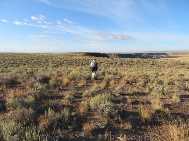
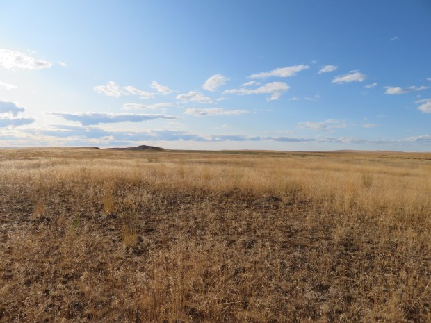
So much to look at in this short sagebrush landscape!
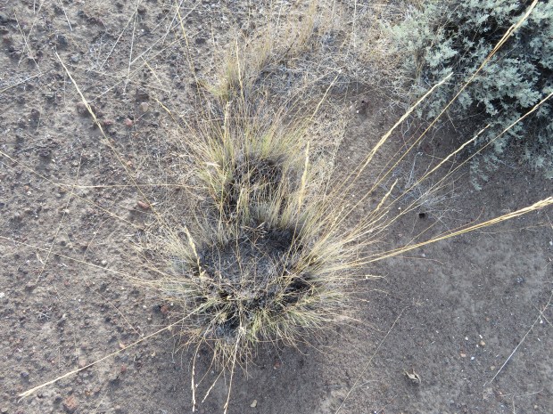
Old-growth bunchgrass.
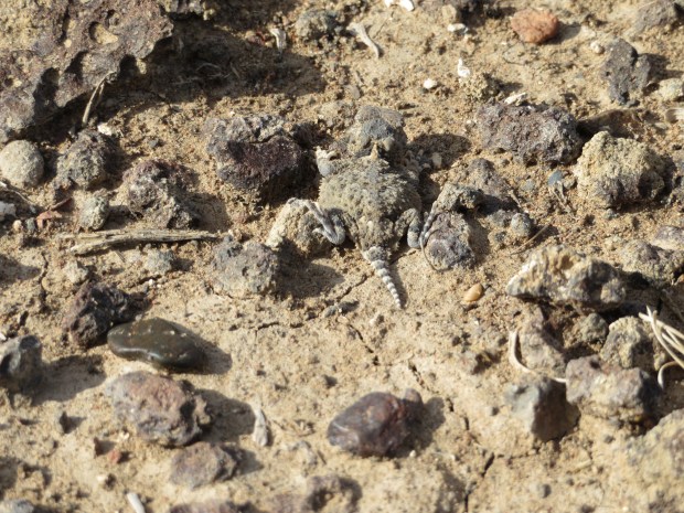
Short horned lizard!

Long-nosed leopard lizard!
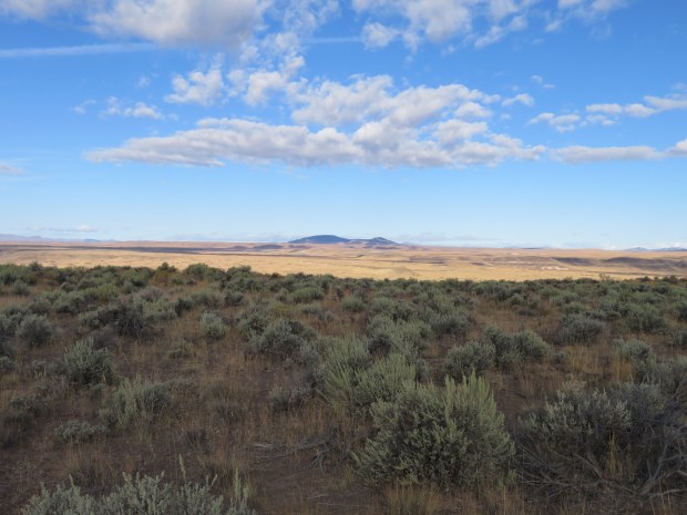
Saddle Butte on the other side of Owyhee Canyon.

Water and a dead steer. Glad we didn’t arrive at this trough feeling thirsty.

Lava vents are scattered across the landscape – reminders of the volcanic activity that shaped the plateaus of the Owyhee Uplands
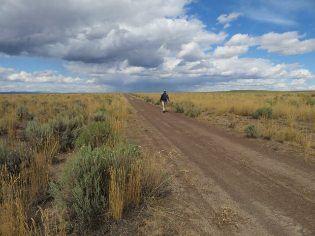
Road walkin’.

An exciting roadside attraction.

Fence negotiating. There was too much tumble mustard piled up along this fence to roll underneath it.

Taking a baring for some 3 miles of straight line walking.
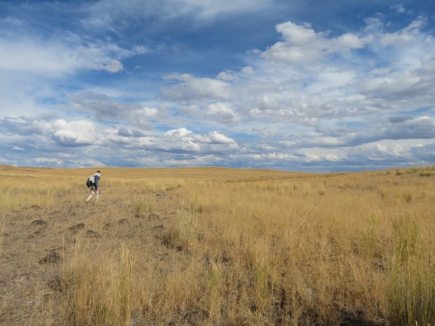
Walking amid the bunchgrasses – not sure what type.

Gabriel approaches Jordan Creek.

Descending down to Jordan Creek. I thought it was a little loose and the going warranted both my trekking poles. Gabriel thought it warranted a sun umbrella.

Jordan Canyon – time to get across it.

Finding a spot to ford the creek.

We may have picked a shallow spot to wade across, but we chose poorly as far as vegetation to push through to get to dry ground. Look at all those cat tails ahead!
After all the wet and mud, at the top of the canyon it’s back to flat, dryland walking.

Made it to Highway 95 – also known as I.O.N. Highway in these parts (aka Idaho, Oregon, Nevada). We still have a few more miles to go before we get to Rome. Trying to get there before the restaurant/store/RV campground closes.
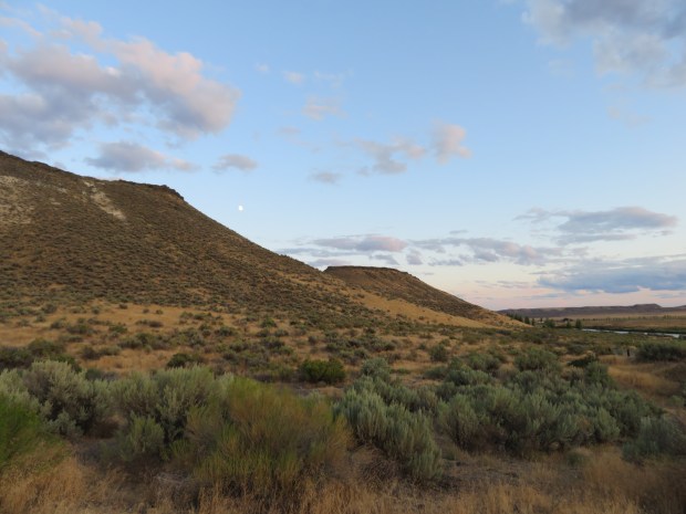
Moonrise over the Owyhee Uplands. We’ll be headed up these hills when we get back on the ODT in a few days.
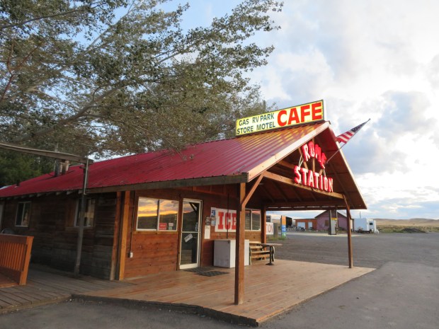
Rome Station! Cafe, gas station, camping and cabins. All the civilization one needs – and can handle – after the last few days. We arrived just after the station closed, but we’re able to camp in the RV park anyway. It’s a lovely little oasis and it feels good to sit at a picnic table after a long day.

I wonder if anyone has ever crossed Jordan Creek and thought, “Yes, I picked the right way!”
So true, so true DNR! 😀 Maybe if one sat out on the ridge for a couple hours (or days) and observed how coyotes, deer, and other critters cross the creek they’d learn of a better route. But there are other places I’d rather sit and study wildlife. So given that, I guess we picked a “right enough” way.