
September 8, 2019, day 4
Wild Rose Reservoir to Owyhee River (OC 129), ~26.3 miles, ~69 miles total
Gabriel’s Day 4 pictures are here.
Sharing a few pictures and videos that I took with my camera and didn’t have easy access to while we were on trail.

Up and moving on a cool morning – we needed our wind shirts to stay warm. When DNR & Dan came through here two weeks earlier it was a 100 degrees! Same “trail”, different day.

Looking back north to Mahogany Mountain. To think, yesterday we woke up on the other side of the mountain and this morning we’re south of it.

Turkey vultures circling Birch Creek Corral.
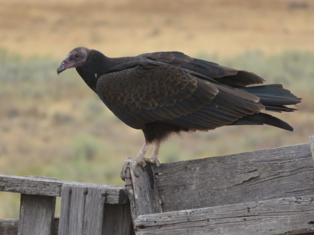
Juvenile turkey vulture. Its brownish-pink head has yet to change to the distinctive bright red of a mature adult.

A sea of sagebrush green and cloudy muted blue skies. Rothko-like horizons in all directions for miles and miles.
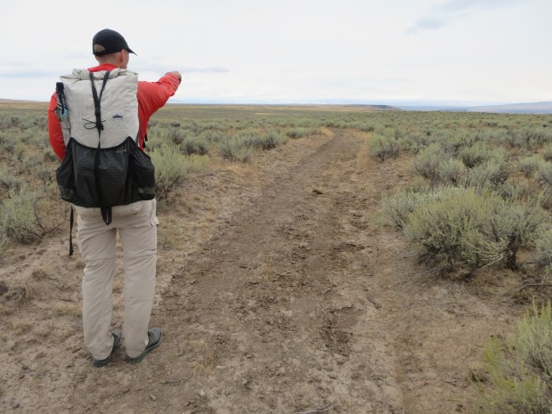
Hours of road walking can dull the senses at times. Here we see something in the distance and start to make all sorts of guesses as to what human made object is out here. (I’m hoping for a lemonade or hot cocoa stand.)

Finally made it to the distant thing. It’s an empty water truck alongside a dry cattle trough. No hot cocoa, no lemonade. Le sigh.
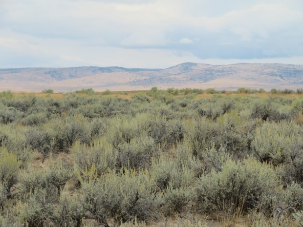
Walking along the Owyhee Uplands one travels through a lot of sagebrush. Sometimes you can crouch low in the shade to get out of the wind. Sometimes the sage sparrows and other birds sing songs of late summer. Sometimes darkling beetles cross in front of you. There’s lots happening underneath the shrubs, amid the bunchgrass, and in the biocrust.

Other times the sagebrush steppe feels more like rangeland with cropped grasses, busted biocrusts, and cow pies aplenty.

And sometimes on the opposite side of the road – or other side of the fence – the bunchgrasses and the ground look like this.
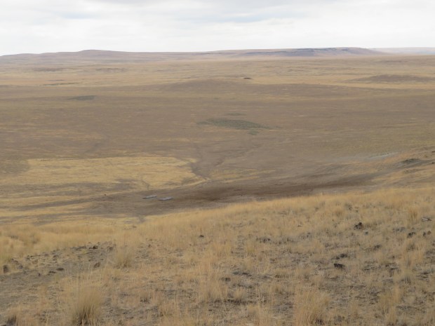
The “well-cropped” (is this overgrazed?) rangeland spans miles of country with the hardest “cow hammer” hit to the land most evident around a water source like this reservoir.

Cattle hoof prints dent the ground. I’ll admit, they do make good cup holders. There’s no need to mind the dried out cattle dung – it’s just the cow stamp of approval for our break spot. And it’s everywhere out here, so we can’t get away from it if we wanted to.
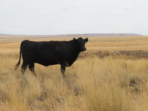
A fellow hiker.

Heading southwest toward Iron Point and Owyhee Canyon.
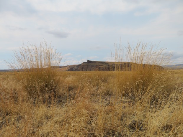
Looking west across Owyhee Canyon to Iron Point and some magnificent tall grasses.

Approaching the descent into Owyhee Canyon – this is the first time we’ll drop down to the actual river! What does it look like down there?

The Owyhee River! A beautiful blue and green ribbon of life. Riparian habitats like this corridor often provide essential resources to sustain upland wildlife and are hotspots of biodiversity within shrub-steppe environments.

Cloud shows and lava rocks on the benches above the Owyhee River. The old military wagon road is our track though this part. It’s decidedly warmer on this benchland in between the river and the plateau.

Coyote walked here.
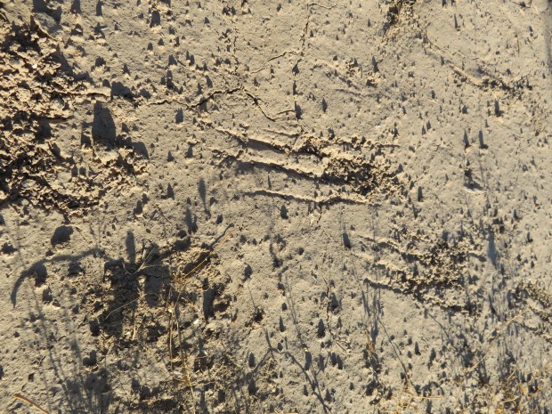
Badger walked here too. The scrapes are those of long powerful digging claws. Wilson Wewa tells some fine Northern Paiute stories about Badger in Legends of the Northern Paiute.
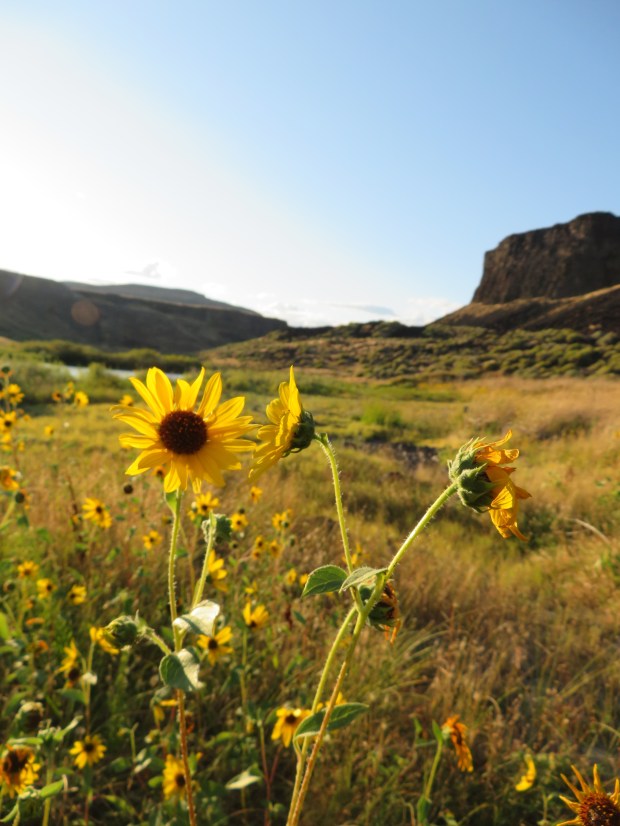
Sunflowers aglow on the bench above the Owyhee River near Lambert Rocks.

Peaceful evening along a gentle flowing stretch of the Owyhee. Oh the smell of the river and its banks: fish, algae, willows, rushes, and sedges. It is the scent of abundant life!
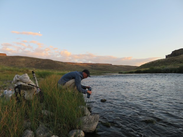
Moon rise time. Gabriel collects water for tomorrow.
