
Last night was cold enough for our water bottles to freeze shut, but not bitter cold. Still, we slept in to 6:30 to sync getting out of the tent with sunrise.
All morning we walked through beautiful forest of ponderosa, Douglas-fir, blue spruce, white fir, limber pine, Rocky Mountain juniper, with aspen and oak just starting to leaf out. Following trail. Admiring the Pink Cliffs’ limestone formations and fresh snowmelt streams. Some streams flowed clear, others matched the color of the rock with gold and pink particulate saturating the water.
Overall the morning and early afternoon felt comforting. Relaxed. Soft. Still cool enough to sit in the sun in the early afternoon, we watched swallows and swifts fly about the rim.
We hiked up to Rainbow Point, to make sure we visited the local high point (9,115 ft), take in the views, and read the interpretive signs. A clear day, we could see the Henry Mountains, the lush green fields of Bryce Valley, Cottonwood Road, and the upper Paria River, and the canyons we’d traveled the week prior.
I’m not familiar enough with the topography of the area to point out all the lines we walked, but it felt satisfying to look out on the horizon and have some idea of the place, some peaks and drainages look familiar. Hints suggesting what is in the folds of those canyons. While I can’t say I know the country, I feel we’ve had a nice introduction and both Gabriel and I would like to become better acquainted with these canyons and mesas.
At Rainbow Point we were standing on the western rim of the Colorado Plateau, having walked some 20-plus miles along this western boundary. It bought to mind the nearly 1,000 miles of the eastern boundary of the Colorado Plateau we’d walked from northern New Mexico through Colorado on the Continental Divide.
While I only feel acquaintance with both sides of the plateau it is soul satisfying to stand in one place and recall the the mountains, hills, animals, flowers and places that comprise the headwaters of the river that connects the landscapes of the Colorado Plateau.
My feet and mind know the start of the Colorado River in Rocky Mountain NP’s alpine tundra, the snowy ridges that bound the headwaters of the San Juan River in NM and CO, and the granite wonderland holding the headwaters of the Green River in the Winds.
Looking east from Rainbow Point across the plateau and its canyons, mesas, valleys, and peaks sparked a wave of gratitude for being able to do these long walks. To fulfill a love for landscapes and understand interconnections of seemingly distant places. It also has me starting to wonder about circumnavigating the Colorado Plateau, circling our home watershed of the Columbia River, and more near-term returning to the Colorado River itself.
Back to the present, we headed down from Rainbow Point along the Riggs Spring trail for one last gander at the Pink Cliffs and hoodoos. Last bit of trail and clear running spring water too.
We stopped in an old growth ponderosa grove by Riggs Spring to watch the swallowtails flit in the afternoon sun, smell the sweet vanilla scent of pondersoa pine bark, and lounge in the duff. We’d reserved the camp site at the spring, but even with our lounging and tourist attractions it was 4:30. Far too early to camp.
And just as well, the day in Bryce Canyon was starting to make us soft. Best get us back to the Hayduke without the creature comforts.
We said goodbye to Bryce and hello to Dixie National Forest. Walking the road of the Lower Podunk Trail, straddling barbed wire fences for cattle fouled spring water. To even feel slightly phased by these things was sure sign we had had our time in the park and needed to get back to our wonderful gritty route.
We hiked by Trekker Bob as we entered the upper wash of Bullrush Gorge. We followed the wash until we got to a promising spot with a bench of ponderosa, juniper, and phlox. The cow stamp of approval is nearby, but not in the lovely, cushy duff of our tent site. A gentle transition back to the Hayduke.
Day 33: 20.4 miles; 506 5 miles total. Right Fork Swamp Canyon, Bryce Canyon NP to Pt. 6771 along Bullrush Gorge.
GPS: not needed; people sighted: 15 on trail, lots at Raimbow Point too, and one Hayduker; roads: a few dusty miles at the end of the day.
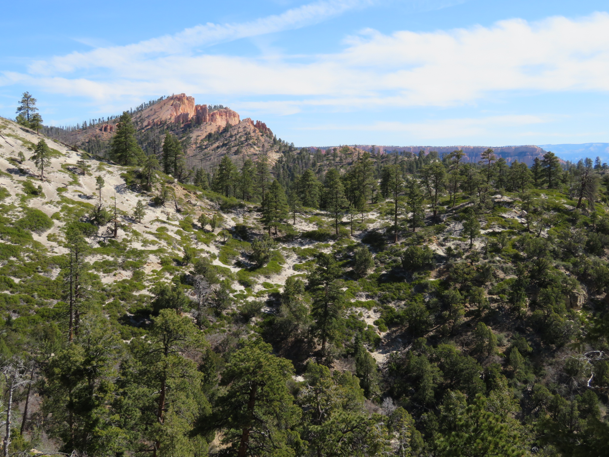
Swamp Mesa from the Under the Rim Trail.
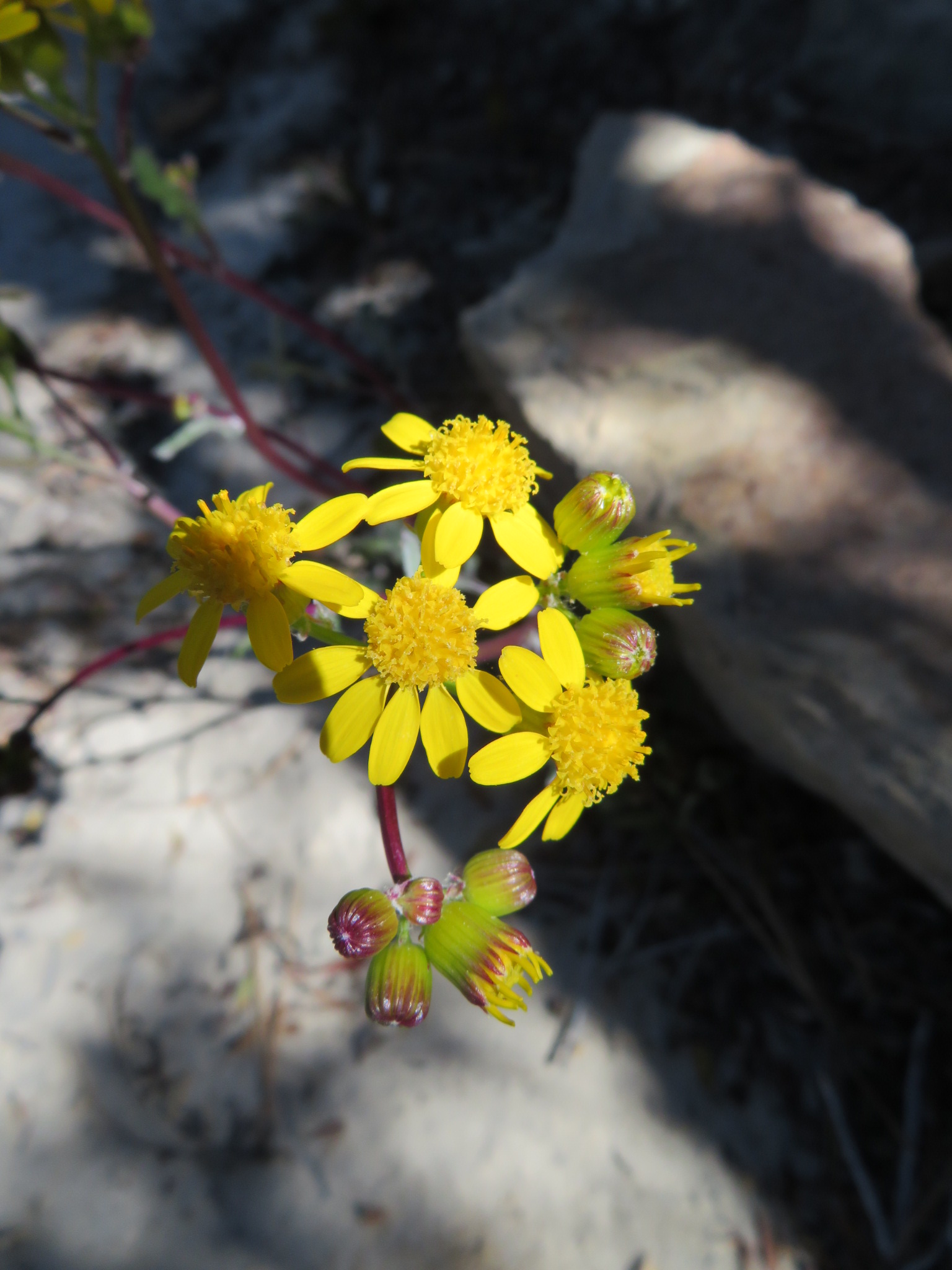
A nice groundsel in the forest.
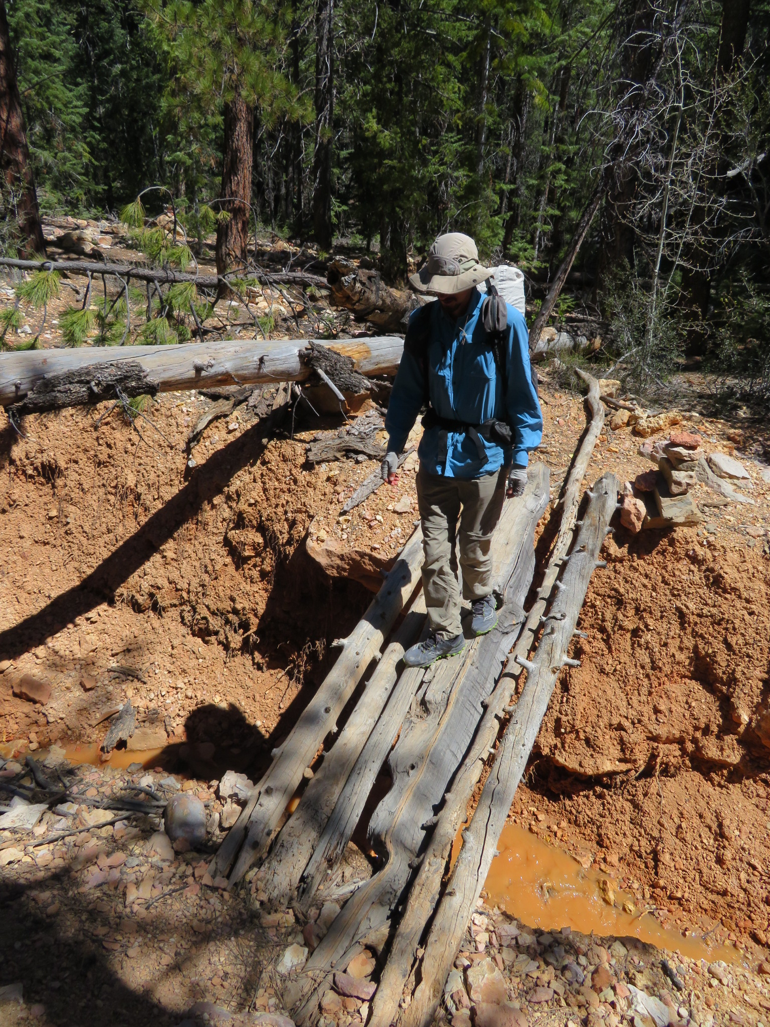
Gabriel and a “trusty” foot bridge – this as “rugged” as the Under the Rim Trail gets.

Aspen are just starting to leaf out.
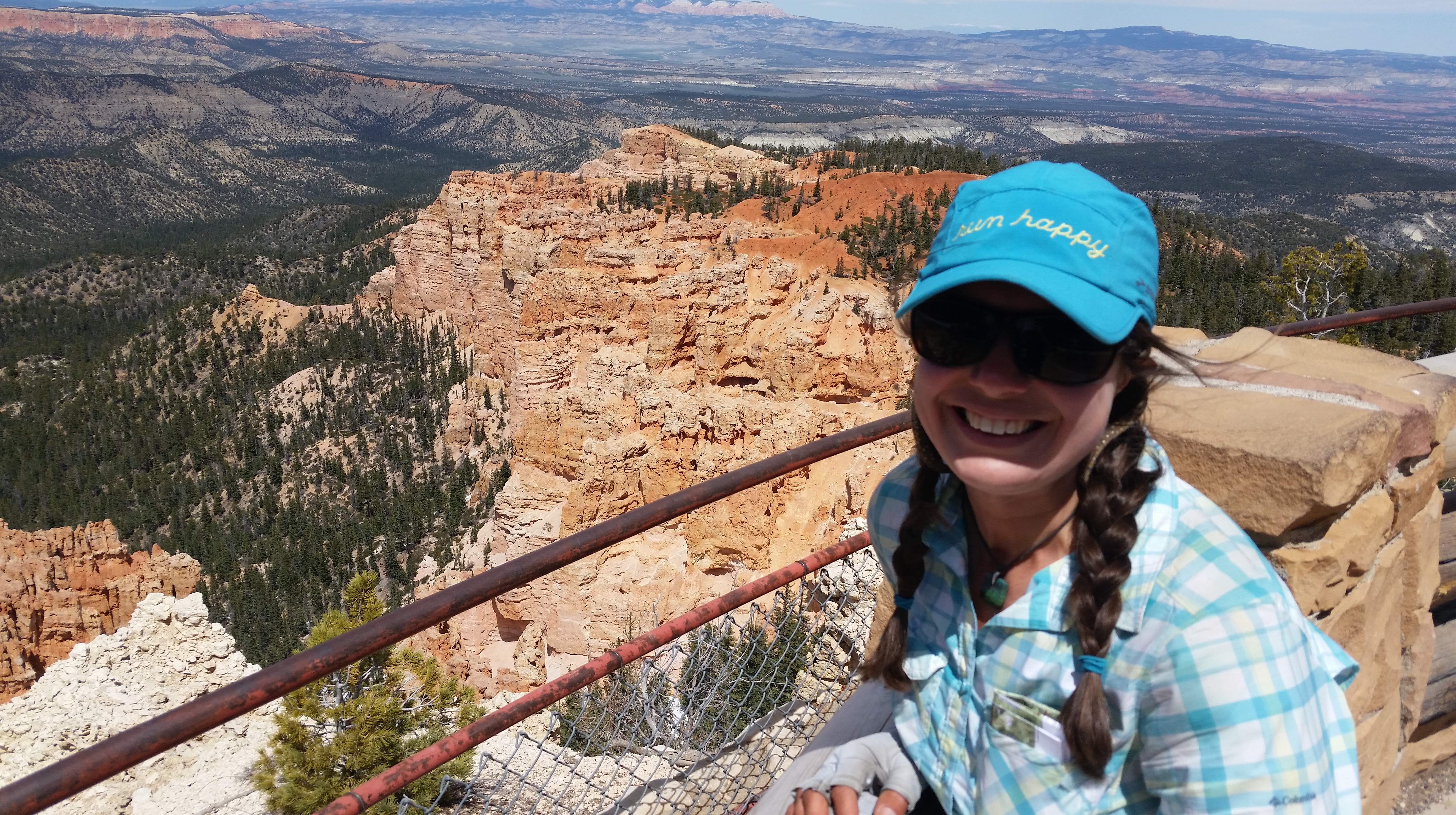
Hi Grandma! Hello from Rainbow Point in one of your favorite parks.
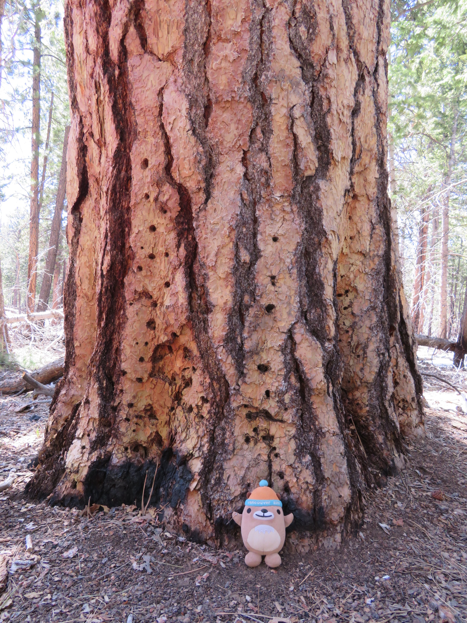
Mukmuk likes the old growth ponderosa pines in Bryce Canyon NP.
