
Up early on a very cold morning (mid 20s F), we enjoyed the last miles along Salt Creek. More cliff dwellings and Kirk’s cabin delighted us. Frost on plants and ice on the water, kept us moving.
Soon enough we were out of the park onto the cross country and road walking mix of terrain travel that links Salt Creek with Dark Canyon. Much of this country is now part of Bears Ears National Monument!
Starting up a wash, we were back on ground frequented by few people. Few footprints in the wash. We know there are two other folks on the Hayduke just ahead of us. One is wearing a pair of La Sportivas (yes, we can recognize the tread signature of brands). And the other pair is a familiar sighting for us: Moab Merrells. It is our friend Daybreaker!
Seeing Daybreaker’s tracks felt like we were hiking with our friend! We could see where he noted the prints of other travelers in the wash: cougar, coyote, elk, deer, kangaroo rat, jackrabbit, cottontail, raven. We weren’t always taking the same route or steps as him, but our paths often aligned.
Today was one where we had compasses and maps out. Studying the route from good vantage points and planning our course for the next leg. From Salt Creek we followed washes up and over a road network, then scrambled down a ridge to the south side of Big Beef Basin. Skirting the basin, we traversed some hills to drop down into Ruin Canyon.
The terrain is generally open and often looks like it would be easy, fast walking. But that “open” country is often where we find cryotobiotic soil. Its presence dictates we make intricate moves to skirt around it until we find the next animal path, drainage, or cow track to tread. When such routes aren’t available, we hop between rocks, brush up to the pinyon pine and juniper and spiny scrub oak. All to avoid hurting the soil. It takes longer and more effort then we are used to. But we go where the cryotobiotic soil tells us to go. Often, we see Daybreaker has done the same.
Toward the end of the day, Gabriel and I wonder, should we have just taken the longer high route with a road? It would have avoided cross country amid the cryotobiotic soil. (Less impact, albeit this place is cattle grazing country, so the impacts are already evident.) And then we looked down along the slopes into Ruin Canyon and felt our route was worth the effort.
Tonight we moved out the cowpies to camp on pinyon pine duff. One more cool night before the forecast warms up above freezing.
Oh, and so much for the hip deep snow. We can see patches of snow on north facing slopes, but that is it. We are glad we are here!
Day 8: 17.5 miles, 131.8 miles total. Camp south of All American Man to Ruin Canyon.
GPS: used a few times; people sighted: one guy who drove right by us in the middle of “no where”!; roads: some, but off trail and trail too.
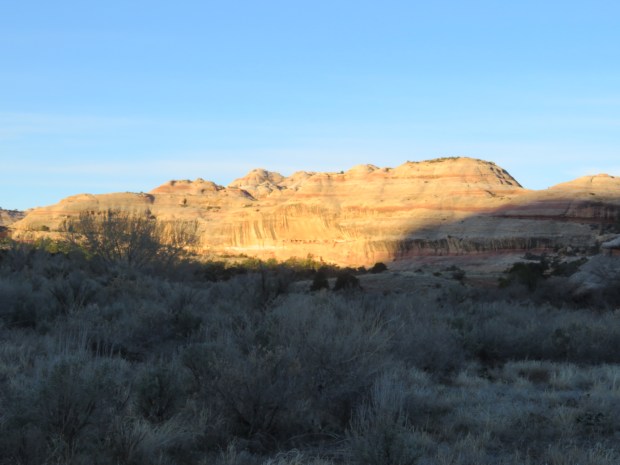
Morning light starting to warm up Salt Creek. A closer look at the canyon wall…
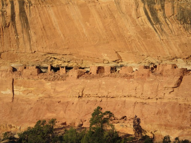
Reveals more cliff dwellings. The Big Ruin. Why are these ones up high and some along the valley floor?

Gabriel checks out Kirk’s cabin.
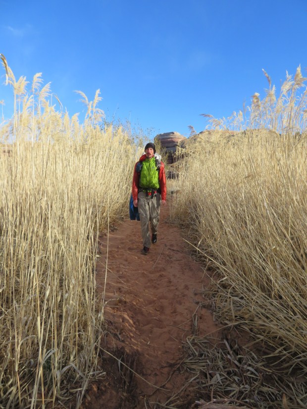
Such tall, feathery grass!
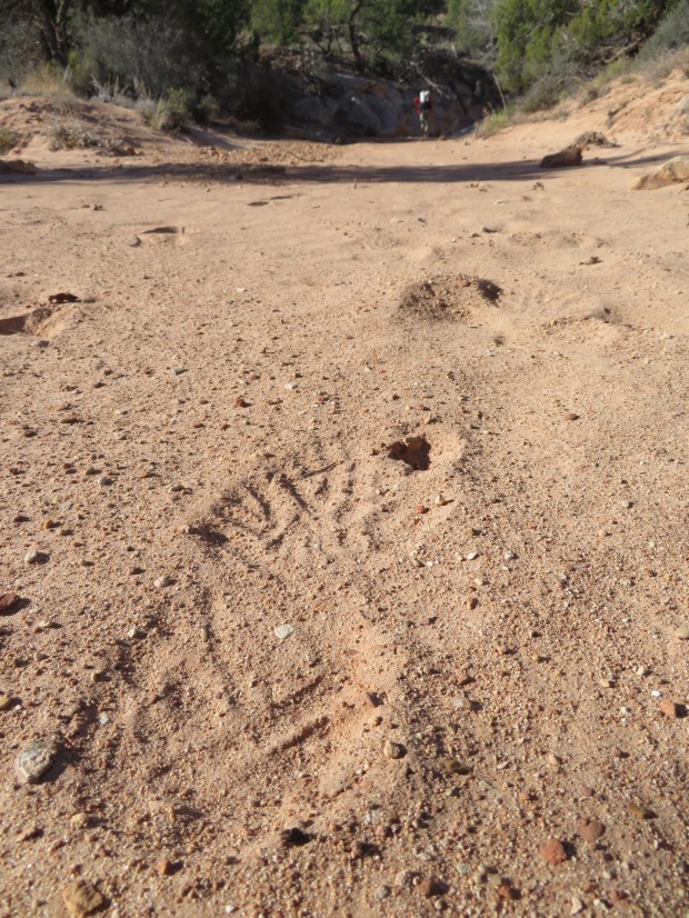
A Daybreaker track!
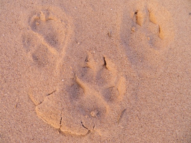
Coyote traffic in the wash.
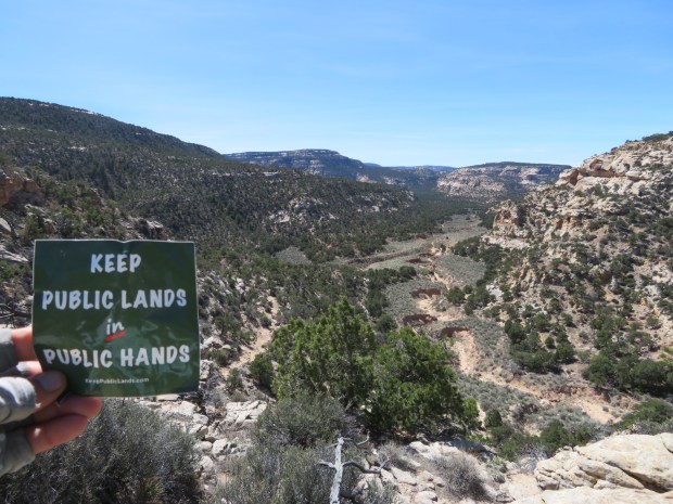
Heading into some of the newly designated Bears Ears National Monument lands.
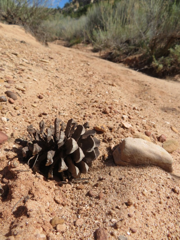
Ponderosa pine cones: a promise of good camping!
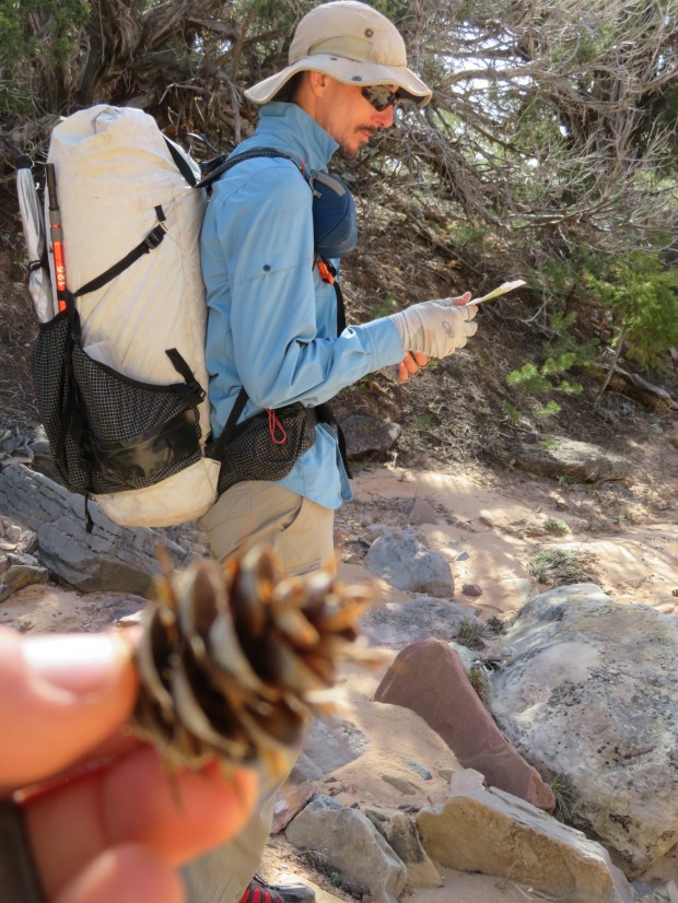
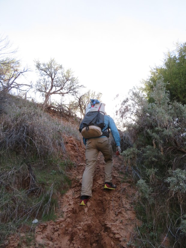
Gabriel focuses on navigation, while I get distracted by trees, flowers, and tracks.
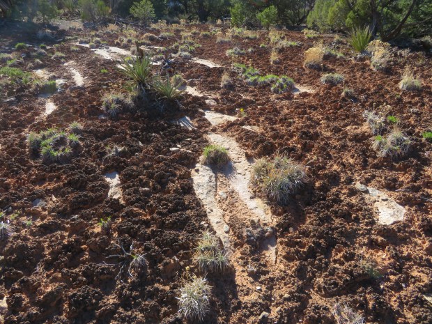
Cryptobiotic soil! So cool, yet it makes it so hard to travel cross country and navigate.

Descending into the canyon, something caught my eye…
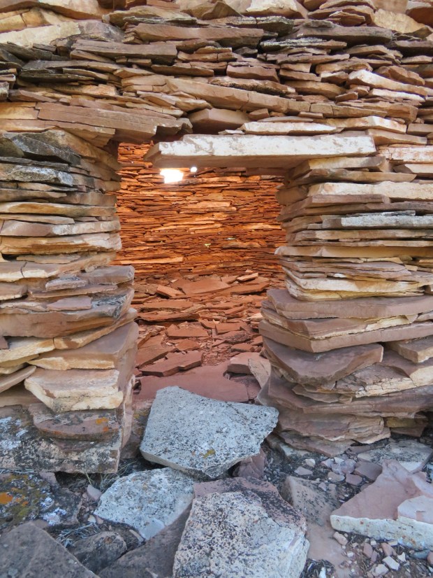
A watch tower…

The cliffs below are rich in dwellings.
Taking the cow path back up from the water.
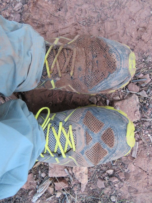
After slipping in the mud and 8 days of hiking, my shoes are no longer shiny and new.

interesting that the snowpack was so different than reported to you… Thanks for the nice reports…
Thanks PJ! Some places, some times, you just need to go and see for yourself.